
Photograph Albums Archive | Mexico | La Família de Toni
Río Grijalva | Villahermosa, Tabasco | Lancha de Victor
22 December | 22 Deciembre, 2002
Click on the thumbnail picture to view the full size picture.
Haga un click en la fotografía para verla.
The 400-mile (640-km) Río Grijalva, named for the Spanish explorer Juan de Grijalva who discovered it in 1518, is also called the Río Grande de Chiapas in the highland region. It begins in southwest Guatemala and flows north into Chiapas and Tabasco in southern Mexico to the Gulf of Campeche. It is navigable for about 60 miles (100 km) upstream, and several branches of the Usumacinta River flow into it.
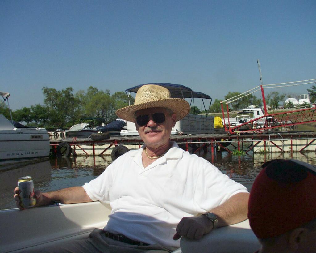 PC220003
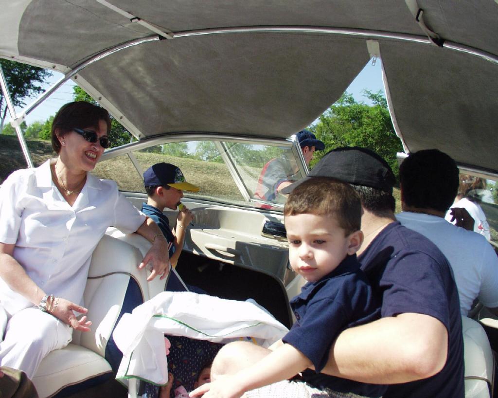 PC220004
 PC220006
 PC220007
 PC220008
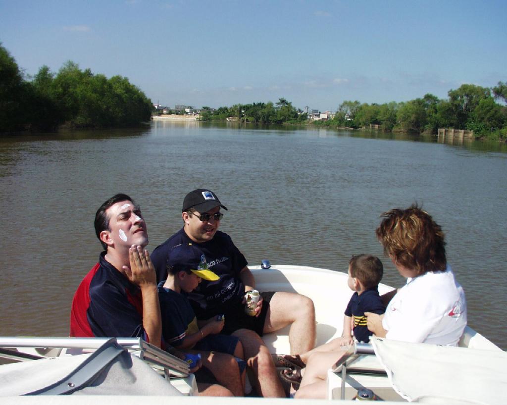 PC220009
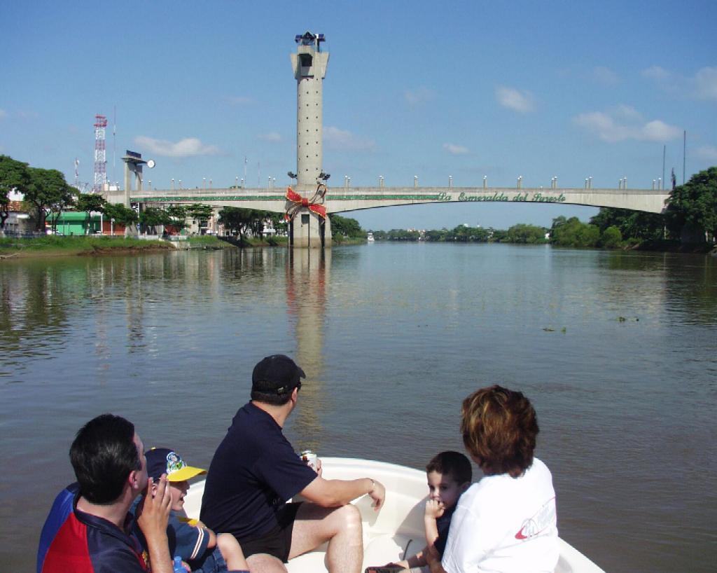 PC220010
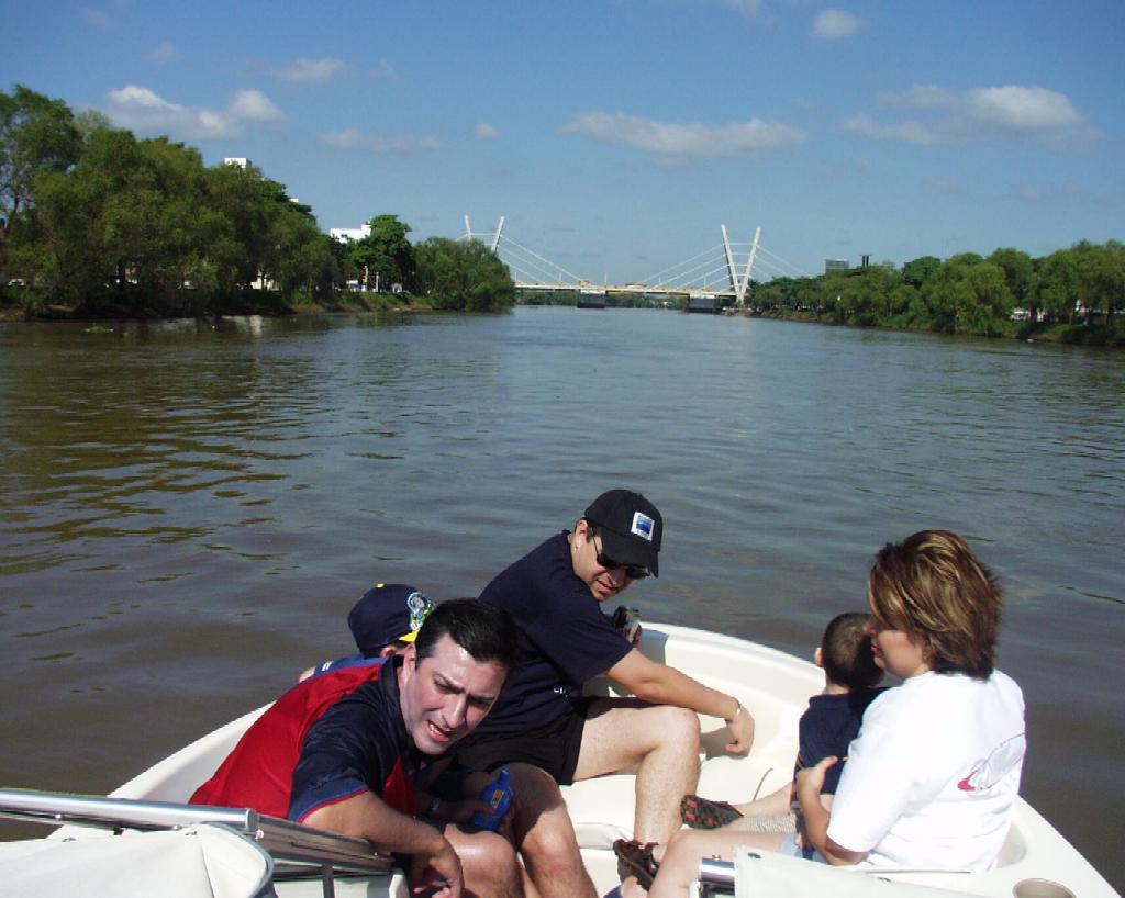 PC220011
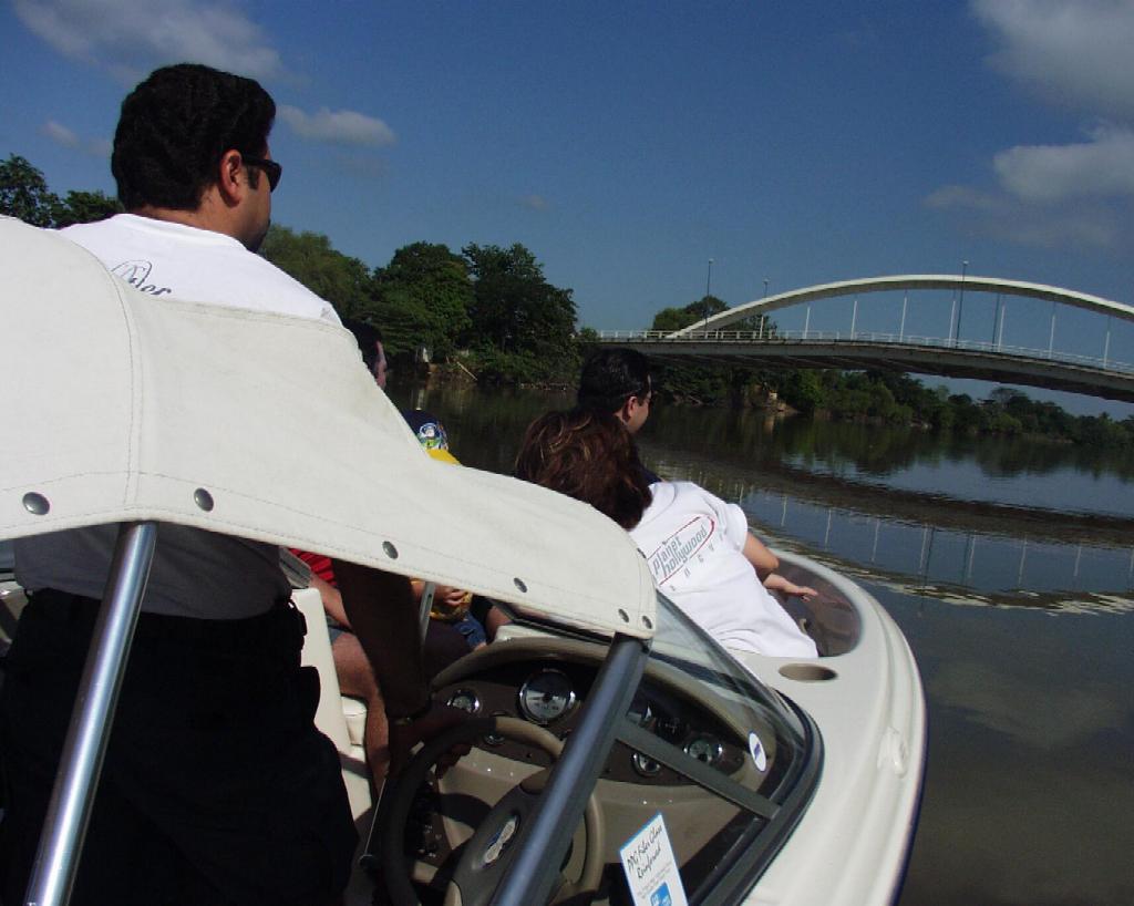 PC220012
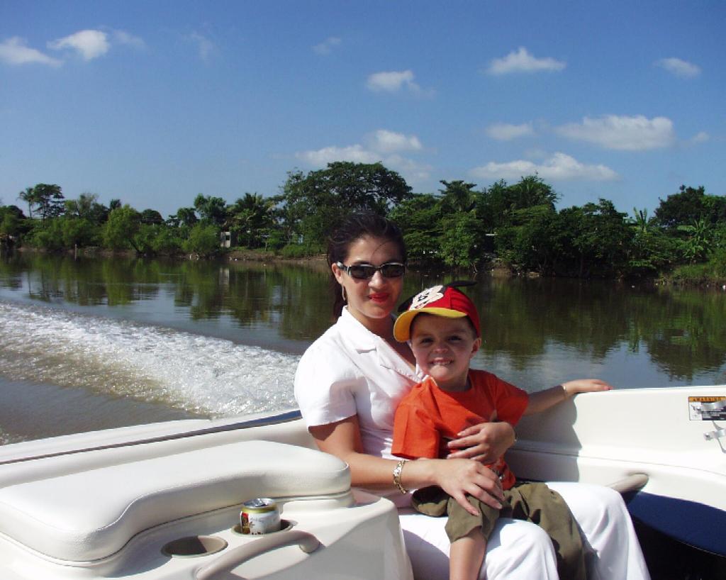 PC220014
 PC220015
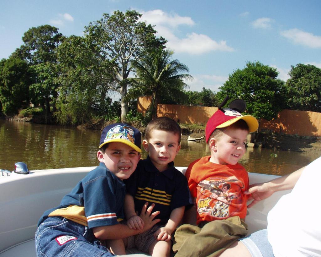 PC220016
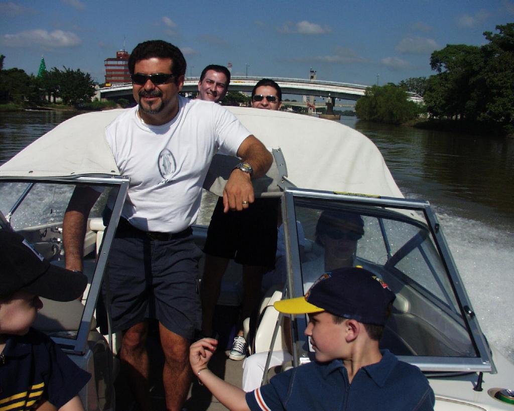 PC220018
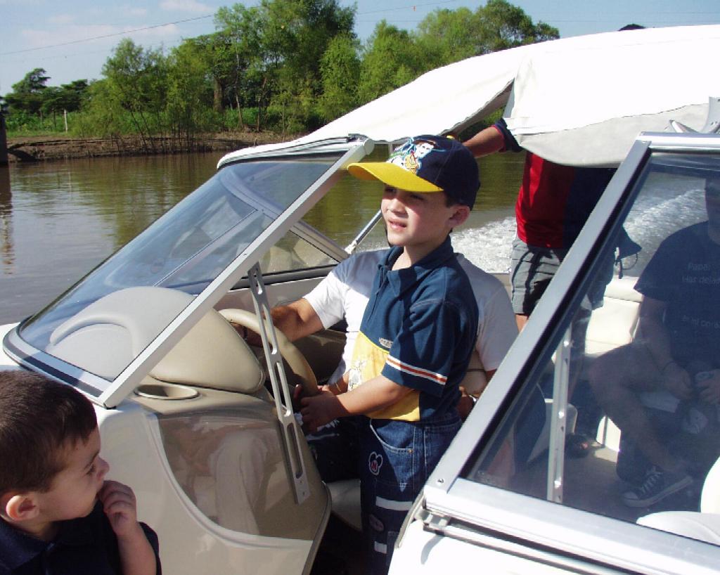 PC220021
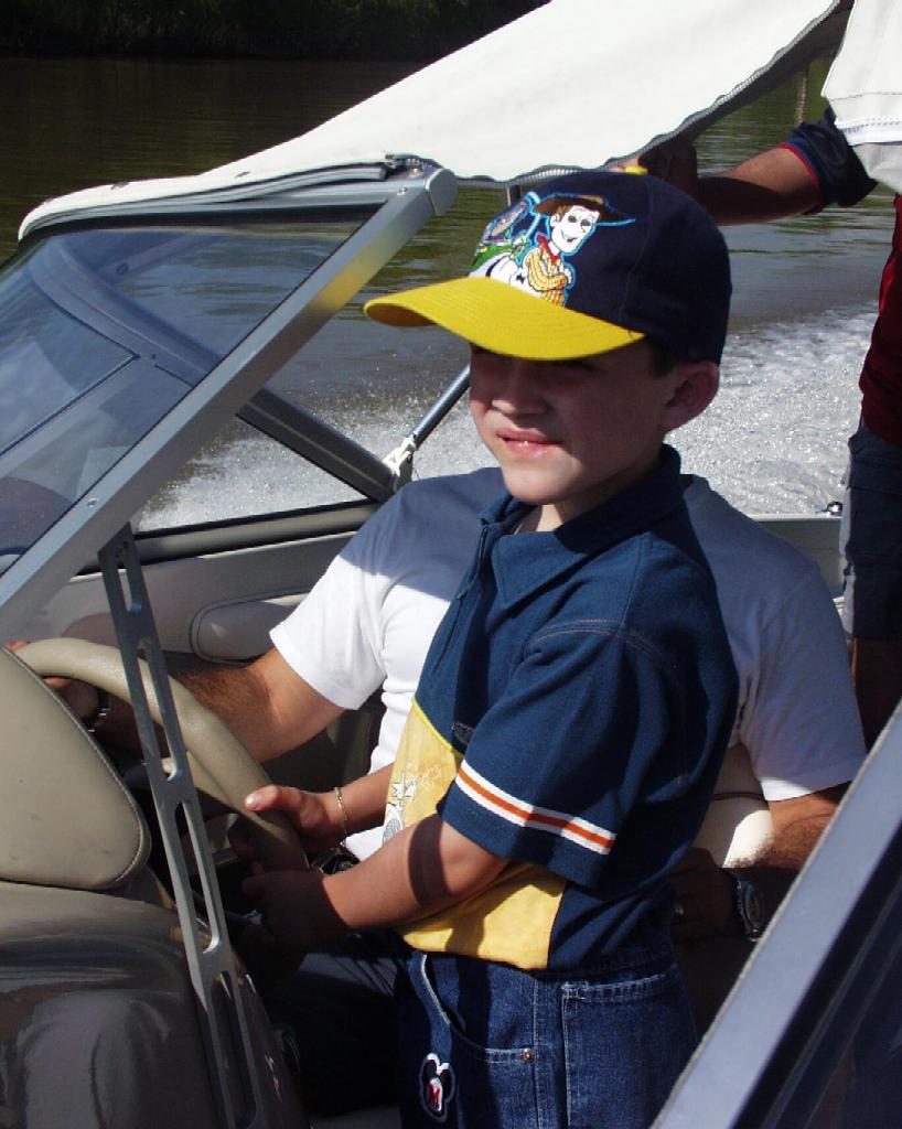 PC220022
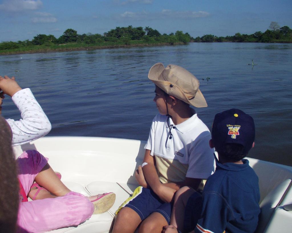 PC220023
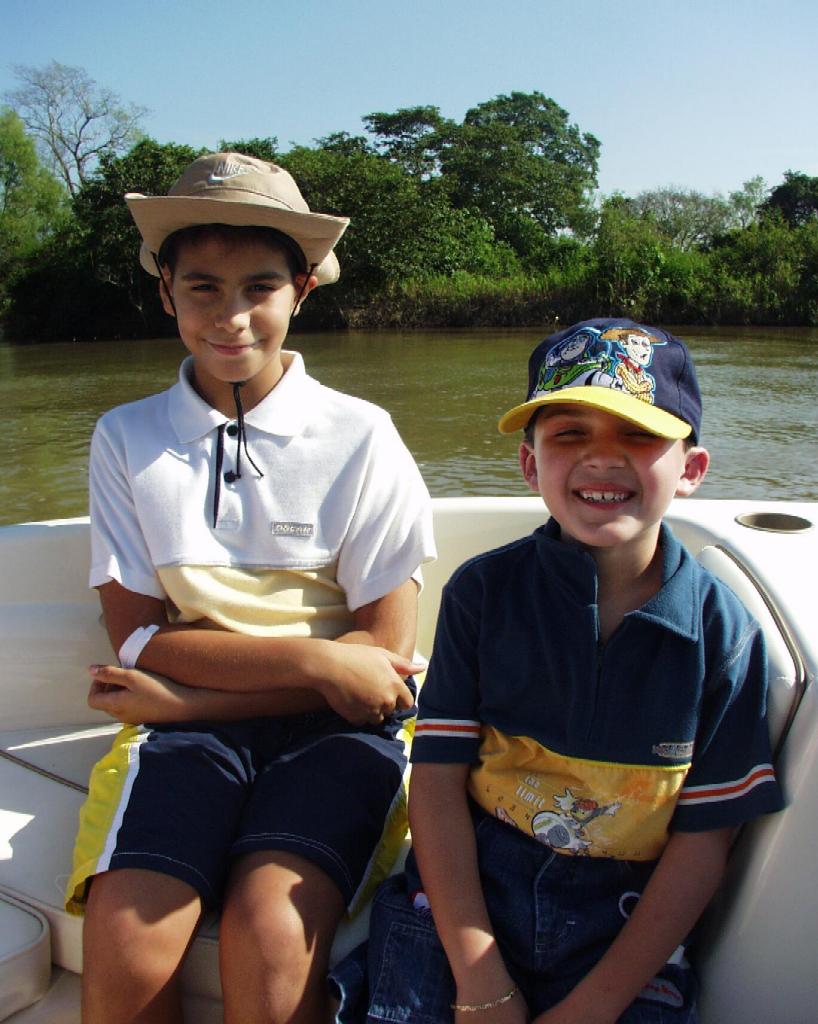 PC220024
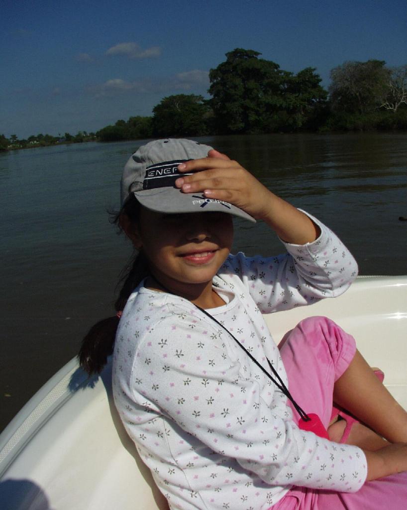 PC220025
 PC220026
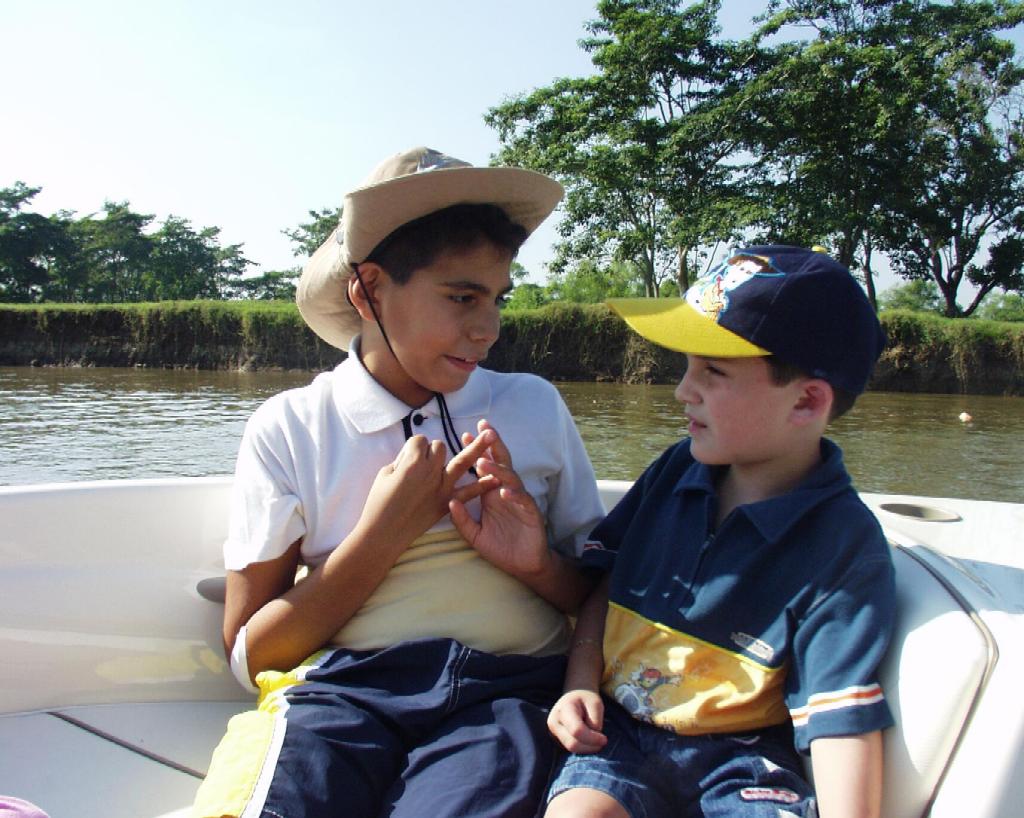 PC220029
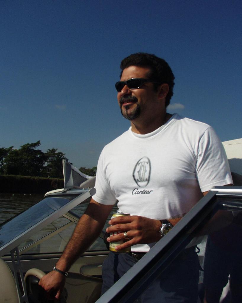 PC220030
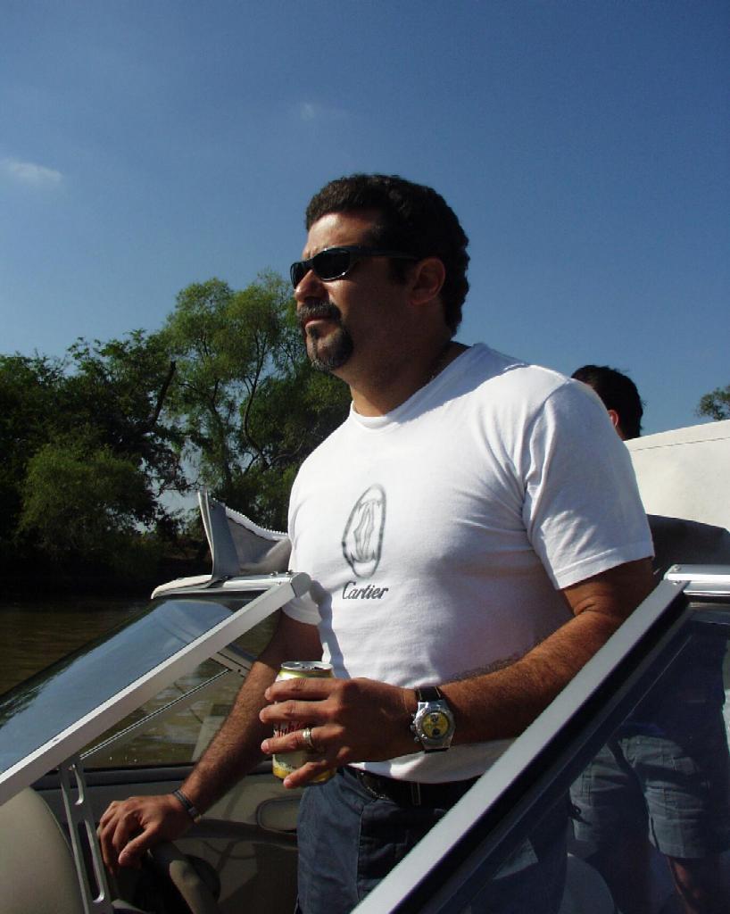 PC220031
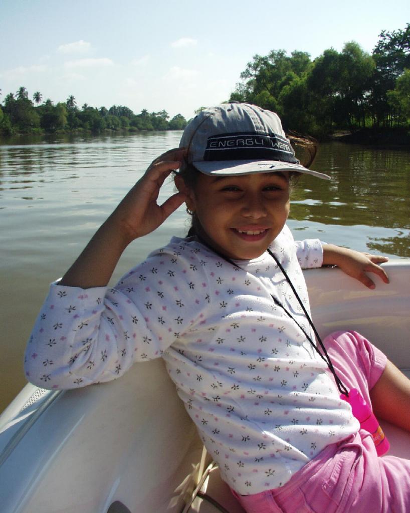 PC220032
 PC220033
 PC220034
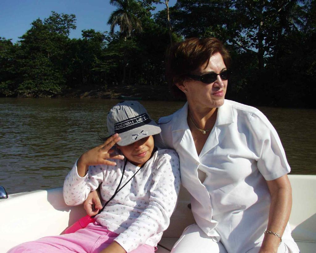 PC220035
 PC220036
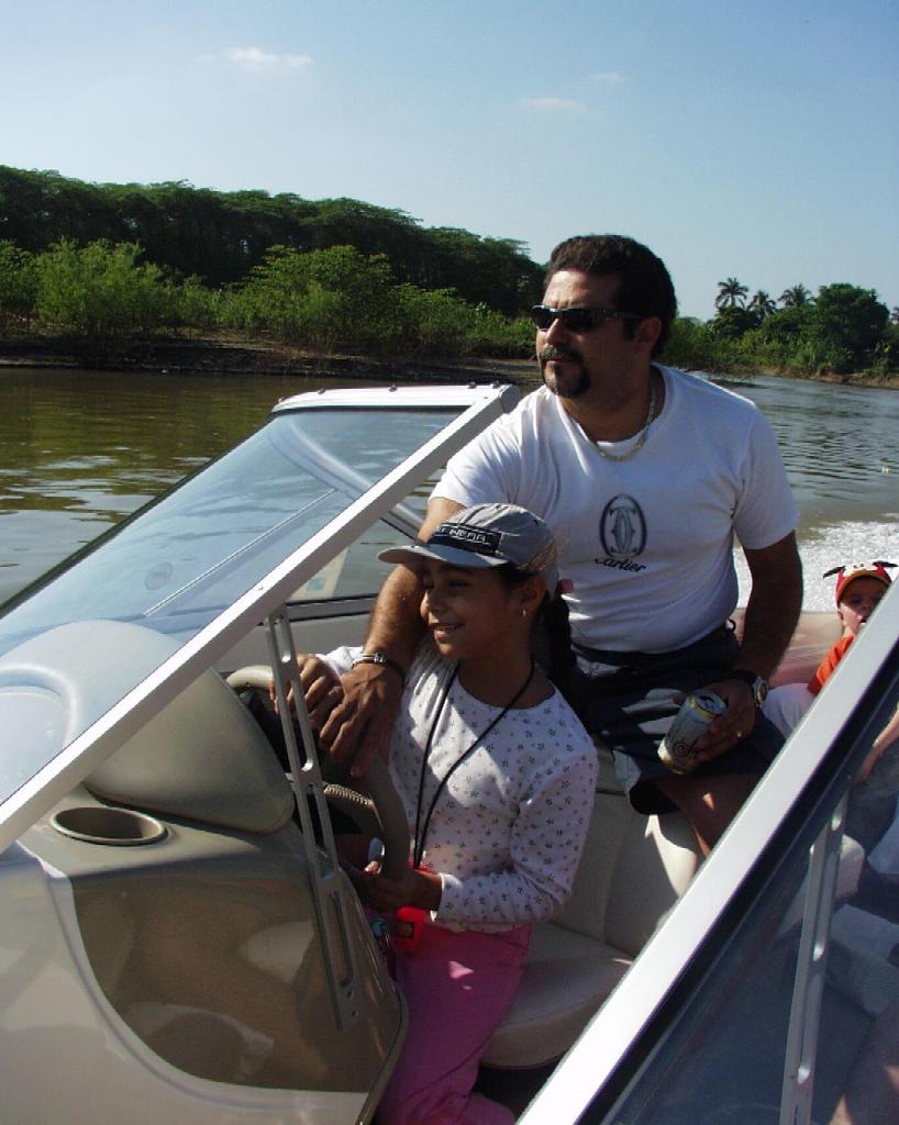 PC220037
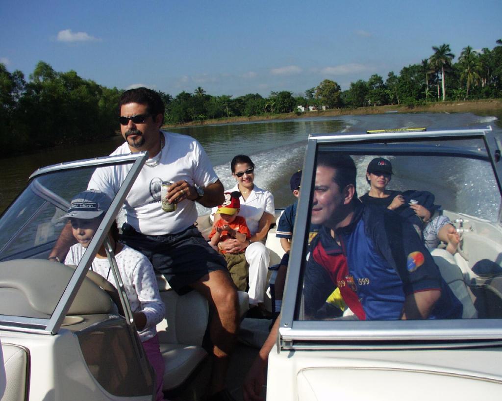 PC220038
 PC220039
 PC220040
 PC220041
 PC220042
 PC220043
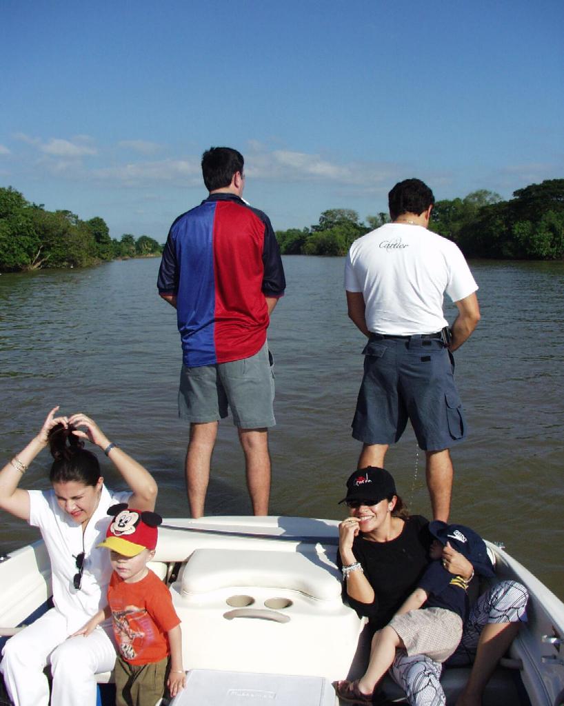 PC220044
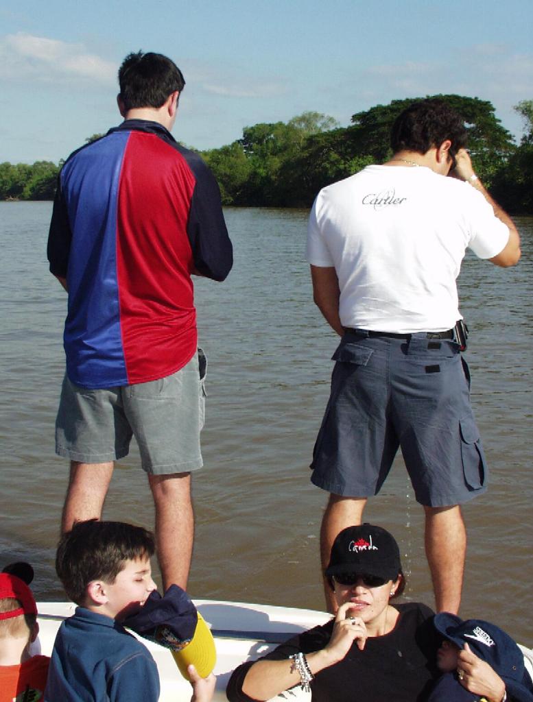 PC220045a
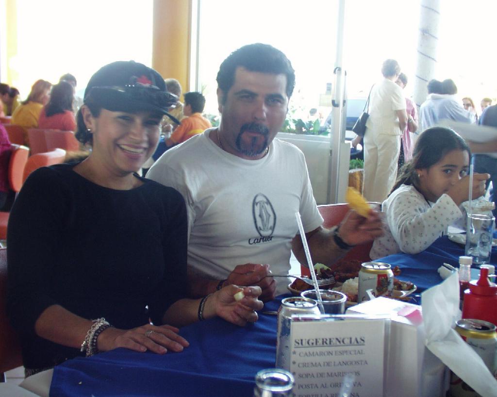 PC220046
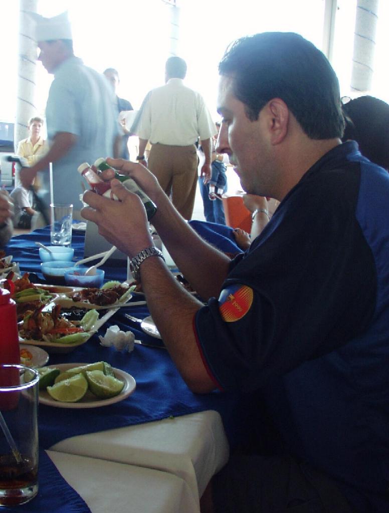 PC220047a
All pictures are jpeg (jpg) 24-bits, 144 dpi format with 1024 pixels in the largest dimension. Higher resolution pictures are generally available, up to 1712 x 1368, as tif, jpeg/jpg, gif, tga, png, pcx, or bmp formats. Please email me if you are interested in these other formats.
Mexico Photo Albums
Tabasco
Chiapas
La Família de Toni
- Boda de Tony y Alejandro
- Día de Candelaria
- Día de los Reyes
- Año Nuevo
- Rancho
- Navidad
- NocheBuena
- Río Grijalva